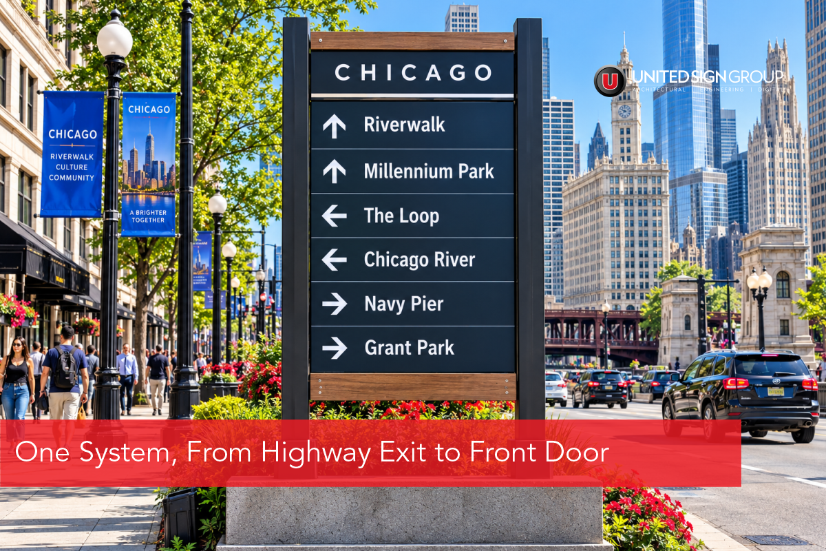
City wayfinding signage looks straightforward from the outside. Put up some arrows, tell visitors where downtown is, done. In reality, a municipal wayfinding signage program touches several layers at once. Survey work, traffic engineering standards, and multiple property jurisdictions all come into play. So do historic district considerations and a budget that has to survive review by city leadership. Few signage categories benefit from a design-build approach as clearly as this one does.
Why a Municipal Wayfinding Signage Program Has So Many Moving Parts
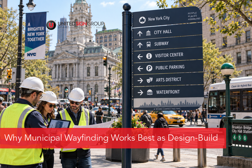
A municipal wayfinding program typically has to account for:
- Roads and intersections owned by the city, the county, and sometimes the state. Each has a different approval process
- Historic districts or downtown character guidelines that shape what a sign can look like
- Federal traffic sign standards, such as current MUTCD requirements (11th Edition with Revision 1), that apply anywhere signage sits within a public right-of-way
- A visitor journey that starts at a highway exit and ends at a specific parking spot or building entrance. The signage has to work at driving speed and at walking speed within the same trip.
That’s a wide range of technical and visual requirements to satisfy with one coordinated sign family. Getting it wrong in one area can mean a redesign that ripples through the rest of the program.
The Process, Step by Step
A well-run municipal wayfinding signage program tends to follow a consistent sequence, and it’s worth walking through because each step depends directly on the one before it.
Planning: Survey and Ownership Review
Field survey. Before any sign gets designed, the survey team inventories and maps existing signage, often with GPS coordinates. This step also identifies decision points, meaning every intersection or transition where a visitor could reasonably take a wrong turn.
Ownership review. The review team classifies who owns each proposed sign location: city, county, or state. This matters because a sign sitting in state right-of-way usually needs coordination with the state DOT before the state can finalize it, and that coordination takes time.
Design and Engineering
Routing and message schedule. This is where the team works out and approves the actual destination names, arrows, and route logic. It sounds simple, but for a program with dozens of sign locations and multiple destination types, getting the wording and hierarchy right up front avoids costly changes later.
Sign family design. A cohesive family typically includes several tiers. Large gateway monuments announce a district. Vehicular directional signs and parking directional signs guide drivers. Smaller pedestrian blades guide people on foot once they’ve parked. All of them need to share consistent color, typography, and material standards so the program reads as one connected system rather than a patchwork of unrelated signs.
Engineering and permitting. Structural engineering and code coordination happen before fabrication starts, particularly for anything in a state-controlled corridor.
From Prototype to Installation
Prototype. For larger programs, it’s common to fabricate one full-size sign and test it in the field for legibility, contrast, and nighttime visibility before committing to full production.
Fabrication and installation, often phased. Cities frequently roll a program out in phases, starting with the primary visitor route (the trip from a highway exit to downtown and public parking) before expanding to secondary destinations like parks or smaller civic buildings.
Why This Sequence Needs One Team, Not Three
Here’s where design-build earns its place in this conversation. Each step above depends on information from the step before it, and several of them depend on fabrication knowledge that a design team alone doesn’t always have.
Sometimes a city finalizes a routing study and message schedule without input from whoever will eventually engineer and build the signs. When that happens, the approved sign family can run into a materials or structural problem later. A gateway monument concept might look great on paper and then need a foundation redesign once a structural engineer reviews it, or a proposed material might not hold up to a coastal or high-wind environment the design team didn’t fully account for.
When routing, design, engineering, and fabrication planning happen within one coordinated process, that gap closes. The design factors in realistic fabrication costs from the start, instead of surfacing them later during a separate bidding phase. Municipal budgets usually need to survive public review. Those numbers hold up better when engineering and manufacturing input shaped them from the beginning.
Built for Expansion, Not Just Launch
Municipal programs rarely finish in one phase. A city typically prioritizes its highest-traffic visitor route first, then adds destinations like parks or additional civic buildings over time. That only works smoothly if the team designed the original program with expansion in mind.
Two things make that possible. One, modular sign structures that can accommodate new destination panels without a full redesign. Two, a permanent asset-numbering system, assigning each sign a unique ID tied to its GPS location, sign type, and specifications, so future maintenance or additions don’t require starting from scratch. A design-build partner is well positioned to plan for this early, since the team responsible for phase one will likely build phase two as well.
What This Means for City Decision-Makers
For a city evaluating municipal wayfinding signage proposals, the practical takeaway is this: a program with this many dependencies benefits from having design and fabrication coordinated under one accountable team. Jurisdictional review, federal standards, phased budgets, and a design that has to work at multiple scales all add complexity that one team can manage more easily than several. That’s different from splitting the work across separate vendors. Coordination reduces the number of places a project can stall. It also keeps the budget grounded in what things actually cost to build, not just what they look like in a rendering.
If your city is exploring a wayfinding program and wants to understand what a coordinated design-build approach could look like for your specific streets and destinations, request a quote from United Signs to start the conversation.
FAQs
It varies by city size and sign count. A program covering the full sequence, survey through installation, commonly runs several months to under a year. Cities often phase programs so they can complete and open the primary visitor route while planning continues for secondary destinations.
Any sign proposed within a state right-of-way generally needs coordination with the state department of transportation before final engineering or fabrication. This is separate from city or county approval and should be identified early in the ownership review step, not after a design is already finalized.
No. Most cities phase these programs, starting with the highest-priority route, typically the path from a major highway approach into downtown and public parking, then expanding to parks, cultural sites, or secondary civic destinations as budget allows.
Yes, if the program was planned for it. Modular sign structures and a permanent asset-numbering system, where each sign gets a unique ID tied to its location and specifications, make it possible to add new destinations later without redesigning the entire system.